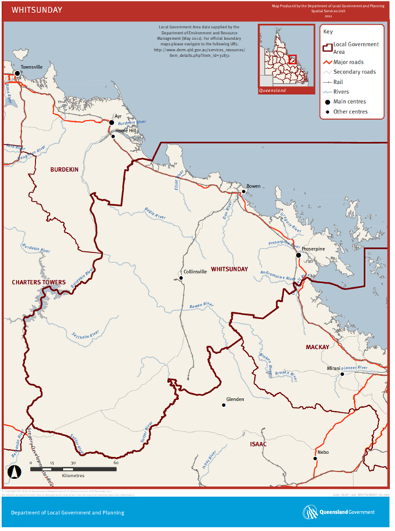
The Whitsundays Regional Management Program involves five regional councils in Queensland, namely the Whitsunday, Isaac, Burdekin, Mackay and Charters Towers Regional Councils. These councils are working collaboratively across an area of approximately 982,000ha.
This program builds on coordinated activities of the Whitsunday Regional Council, which has been in place since 2006, with aerial shooting conducted as part of their integrated pest control program since 2012.
In 2019-20, this program expanded into the Isaac, Burdekin, Mackay and Charters Towers Regional Council areas.
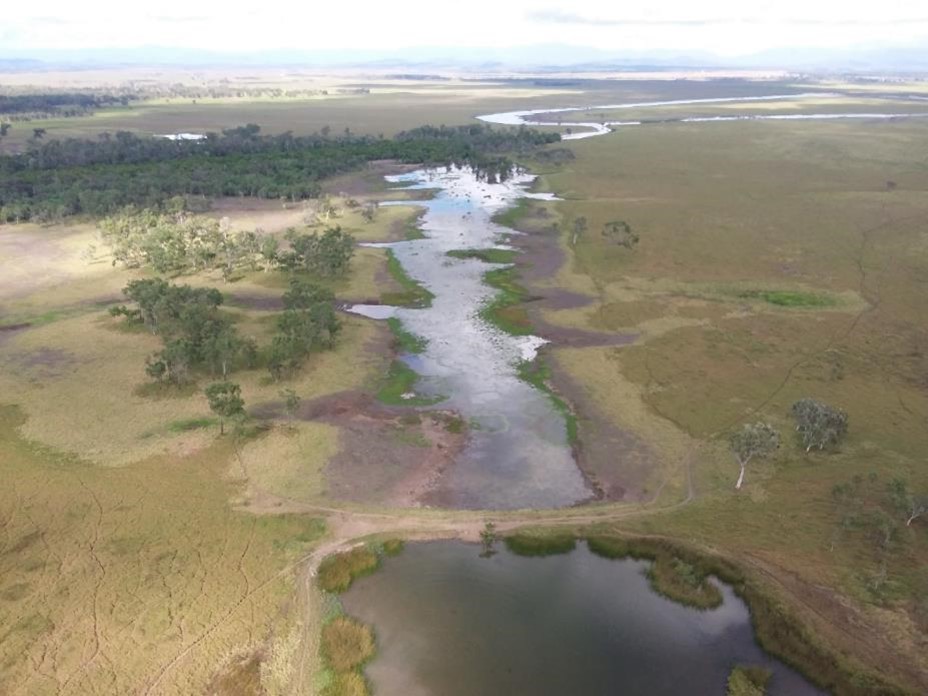
Figure 1: Goorganga wetlands
Under the Queensland Biosecurity Act (2014), local governments are responsible for ensuring management of invasive animals and plants that are prohibited or restricted matter in their area and are required to have a local area Biosecurity Plan which covers all private and public land.
The Biosecurity Plan timeframe aligns with the Queensland Invasive Plants and Animals Strategy (2025-2030) and the Queensland Biosecurity Strategy 2024-2029.
The Biosecurity Plans for each Council provide the strategic direction for the control and reduction of invasive pest plants and animals to reduce economic, environmental, social and public health impacts. The prioritisation of feral pigs and collaborations across local government boundaries to manage them are provided in each these Biosecurity Plans. These can be accessed via the links below:
- Burdekin Regional Council
- Charters Towers Regional Council
- Isaac Regional Council
- Mackay Regional Council
- Whitsunday Regional Council
Burdekin Regional Council
The Burdekin Shire Council (BSC) area covers approximately 5,014 km2. It encompasses agricultural and grazing land, wetlands, rivers, estuaries, conservation parks and national park areas.
A total of 761.5 km2, or 15.2% of the land area, is occupied by estuarine, lacustrine, palustrine and riverine wetlands, including Ramsar internationally important wetlands of Bowling Green Bay.
Charters Towers Regional Council
The total area of the Charters Towers Region is 68,379.7 km2 with the main land uses being agriculture, Defence, and mining.
From an environmental perspective, this region contains 2,896 km2 of wetlands, eight National Parks, a world heritage area, four distinct bioregions, twenty-six sub-catchments, distinct ancient volcanic and geological features, the saline Lake Buchanan, rugged mountains and extensive water storage capacity with Lake Dalrymple.
Of 2900 km2 of wetland area, 2061 km2 is riverine wetland, 467.4 km2 palustrine wetlands and 186.8 km2 of lacustrine wetland.
Isaac Regional Council
This Council manages an area of approximately 58,800 km2, which adjoins the Great Barrier Reef, and stretches across the Brigalow Belt, Central Queensland Coast and Desert Uplands bioregions.
Agriculture, particularly beef production, mining, and eco-tourism are key industries. There are approximately 3,264 lacustrine/palustrine wetlands in this region, that extend across 1,533 km2 or 2.6% of the total land area.
Mackay Regional Council
The Mackay Regional Council covers 7622 km2, including marine area. Land holdings in this area include peri-urban properties, beef production and sugar cane.
Wetlands extend across a total of 523.2 km2, or 6.9% of the total area, with 602 lacustrine/palustrine wetlands in this region.
Whitsunday Regional Council
The Whitsunday Regional Council area includes 13 wetland areas, covering a total of 58,380 ha, which are identified as nationally important wetlands.
The largest wetland in the region is the Goorganga wetland complex. In addition, there are over 82,000ha of land dedicated to National Park and Conservation Parks.
The Whitsunday Regional Council Management Program also aims to protect different agricultural enterprises from the impacts of feral pigs.
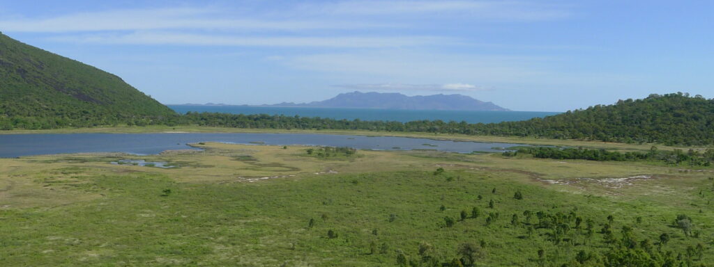
Figure 3: Caley Valley wetlands a nationally listed wetland adjacent to marine turtle nesting beaches.
Integrated management, including aerial shooting, ground baiting with 1080 (using meat or fruit baits, depending on geographical location) and trapping.
These Councils are working with landholder syndicates and conducting a range of different integrated management programs in different habitat types (eg. under vegetative cover, gullies and creeks).
Ground baiting activities are individually coordinated across each Shire involved in this program.
The ground baiting relies on syndicate groups to coordinate and deliver ground baits over large areas.
The ground baiting program uses 1080-injected meat baits or fruit such as rockmelons and mangos to target feral pigs.
Traps are primarily used in residential or rural residential areas where ground baiting is constrained.
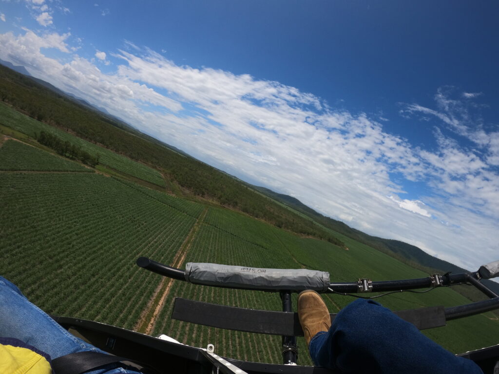
Figure 4: Showing feral pig refuge next to sugarcane production
In 2018-19, the WRC introduced a co-funding model into the aerial shooting program with contributions from the Council, regional NRM groups (NQ Dry Tropics, Reef Catchments), industry groups and landholder contributions.
A minimum fee of $400 per property to participate in each aerial shooting program is currently being charged.
Each syndicate is provided with project reports detailing flight path, track followed and waypoint details. This information is keenly sought after by landholders and is pivotal to their ongoing involvement in the program.
In 2019-20, the first year of the joint Council program, the aerial control activity was fully funded for landholders in the Isaac, Burdekin and Charters Towers Regional Council to assist with encouraging and engaging landholders to be involved.
The program conducts 20 to 35 flights per year with an annual operating budget up to $170,000/yr.
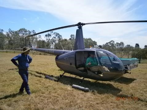
Aerial shooting is conducted from May to November, when it is reasonably dry and water is limited.
To maximise resource efficiency, the aerial control programs also target feral deer, with 2,829 Chital deer removed since 2022.
Current activities are focussed on developing and implementing funding models that will enable pest management programs to continue without external funding support.
WRC in conjunction with Biosecurity Queensland conducted a Thermal Assisted Aerial Control (TAAC) trial in 2024 using a high resolution thermal camera, camera operator and thermal rifle scope to test the effectiveness during aerial culling operations across one of the Feral Animal Management Areas. This TAAC trial received funding from the National Feral Deer Action Plan.
Results from this trial were presented at the National Feral Pig Conference 2025, view the proceedings here on page 44.
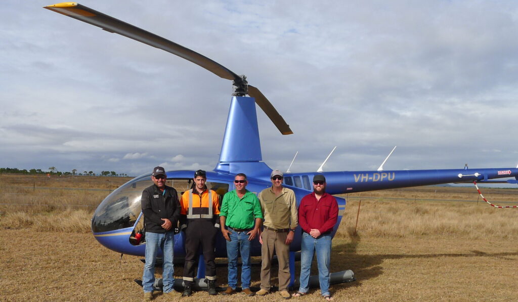
Figure 6: Thermal Assisted Aerial Control team during the trial. From left to right: Kel Forster (Helipower), Jordan Munn (Trap and Trigger), Bren Fuller, WRC, and Matthew Gentle and Aiden Sydenham (DAF QLD)